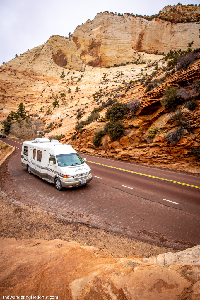
Driving the Pine Creek Canyon area on Zion Mount Carmel Highway
The area surrounding Zion National Park was originally inhabited around 8000 BCE by groups of the native Anasazi, or Ancestral Puebloans, who were also responsible for the more famous cliff dwellings found throughout the four-corners region of southeastern Utah, northeastern Arizona, northwestern New Mexico, and southwestern Colorado.
The first Europeans to migrate to the valley were Mormons from Salt Lake City in 1847 who began cutting trees and planting crops. By 1909 President Taft decided to protect the area and declared it the Mukuntuweap National Monument. Mukuntuweap was the name originally given to the valley by mapmakers who believed this was the local native name for it.
By 1918, Horace Albright, head of the Park Service, sought to expand the park and change it’s name. “The name change played to a prevalent bias of the time. Many believed that Spanish and Indian names would deter visitors who, if they could not pronounce the name of a place, might not bother to visit it. The new name, Zion, had greater appeal to an ethnocentric audience.” (Hal Rothman).
In 1919, Congress declared it Zion National Park named after the Mormon’s name for the valley, Zion, and renamed the river Virgin River per the Mormons. Kolob canyon was later declared a monument and incorporated into the park in 1956.
Arriving in Springdale
You arrive at Springdale via route 9 through a stunning canyon with high sharp peaks that are just as breathtaking as the ones in the park. The population is only 529, a small town lined with hotels and a few shops and coffeshops and RV lots. Rt 9 runs straight into the park entrance on the far side of town and just past the entrance on the right you’ll find the visitor center and a park campground.
We booked a campsite on the edge of the river with great views and easy access to the park. Everything here is pricey, it’s a small and popular park. But it might be worth the prices to have access to the park shuttle without having to deal with your vehicle.
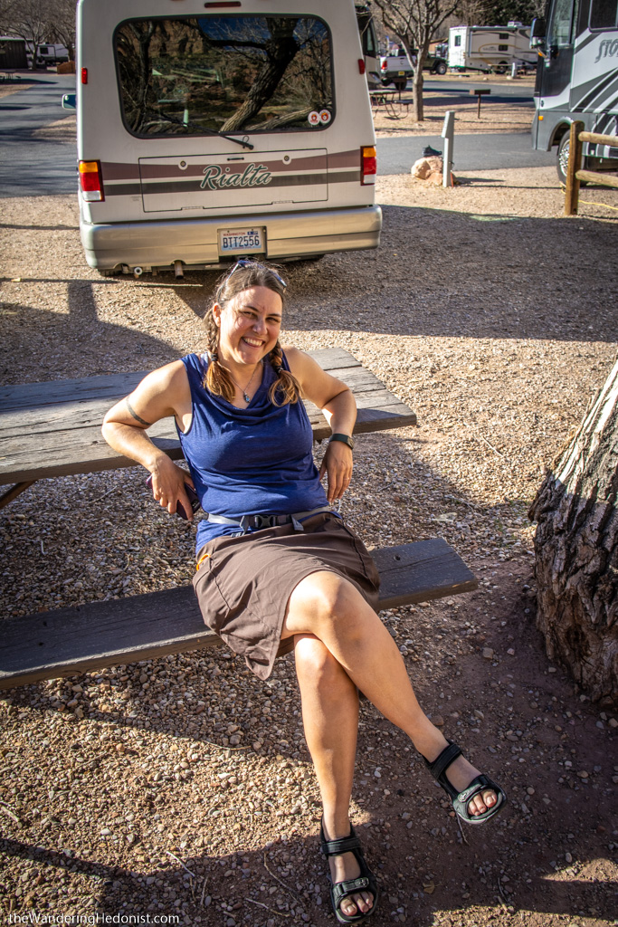
Chilling in our awesome campsite.
View from our campsite.
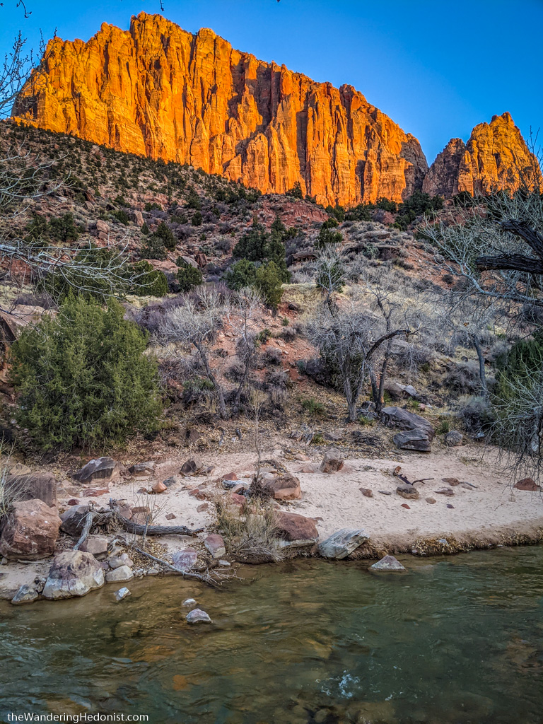
View of the sunset.

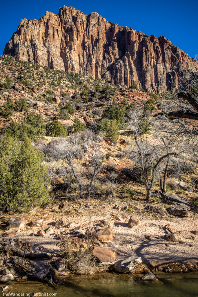
Peaks near the visitor center.
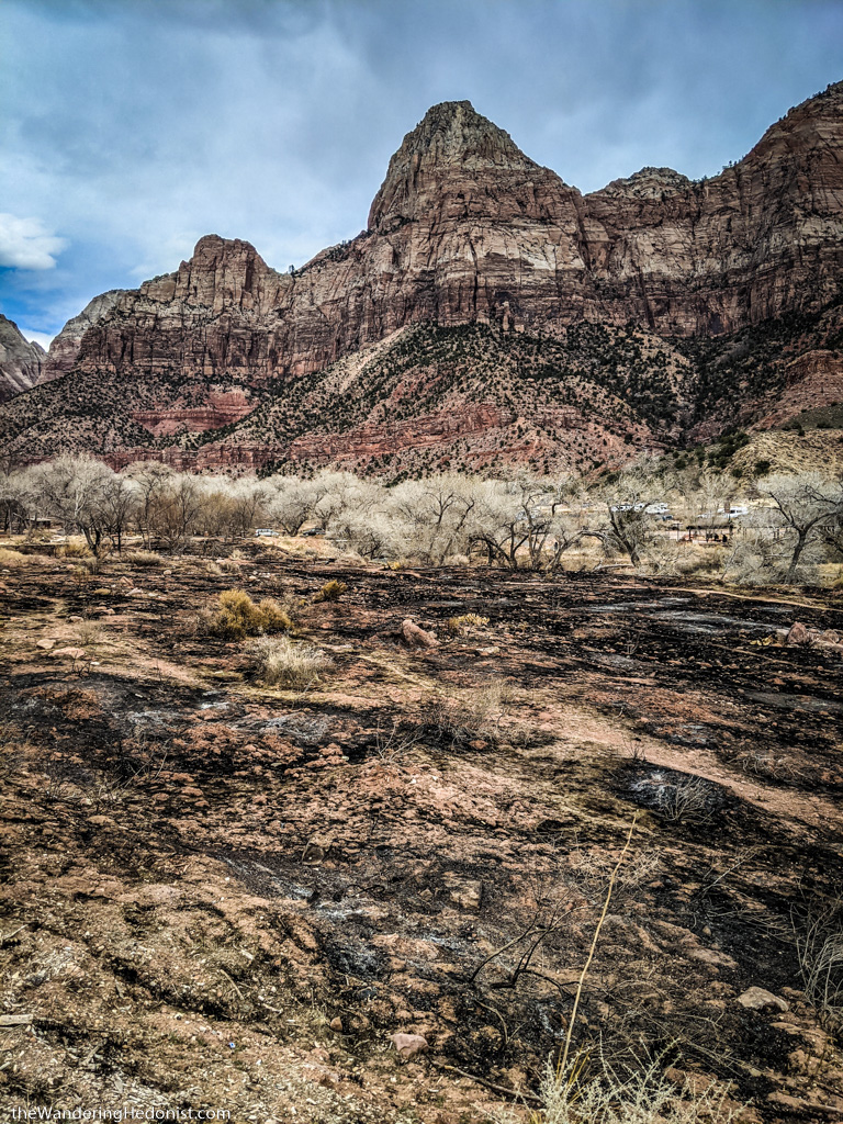
Valley fires near the park entrance.
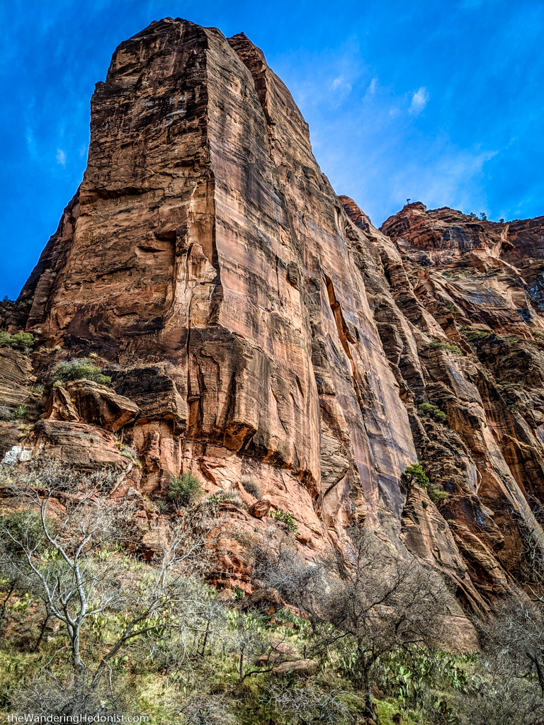
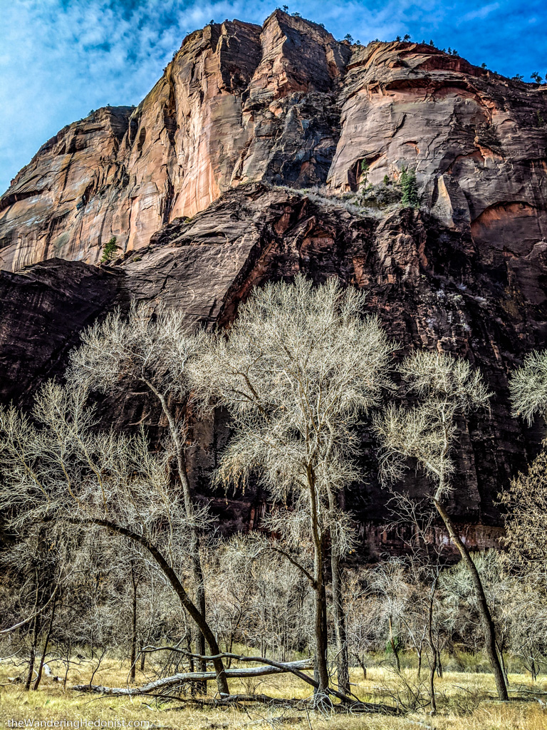
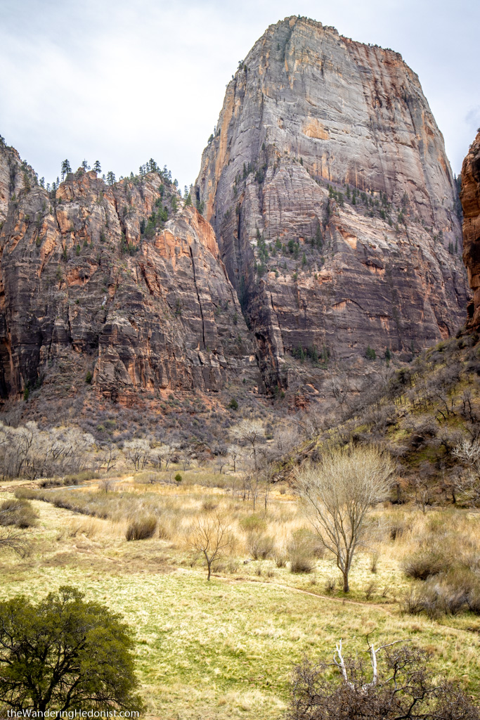
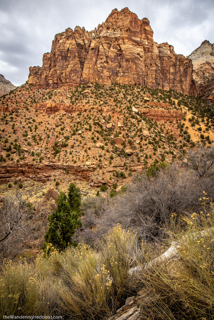
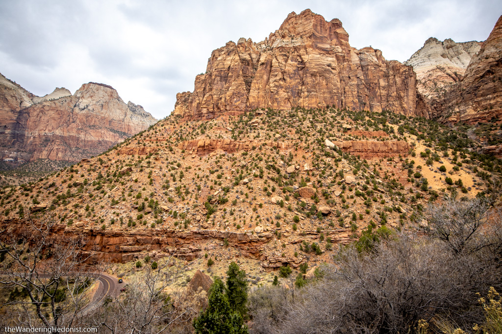
Zion Canyon
Zion Canyon is one of the main attractions in the park, a narrow canyon and single road wind along the river past the park lodge and various canyon formations leading to a parking lot at the end. Here starts the amazing River Walk Trail which ends at the Narrows.
Since the road is so narrow and parking very limited, the park has closed the road during peak seasons to car traffic and transitioned to a shuttle system that functions like a city bus with stops along the road and drops visitors off at various destinations. Bus tickets go on sale 2 weeks out and sell out quickly so prepare in advance.
We were there the week before the shuttle officially opened so we were able to drive into the canyon. However due to the limited space, only 70 vehicles were allowed to enter before the canyon was closed for the day. We ended up going in at 6:30am and barely managed to get parking at the Narrows lot.
Since the Narrows and Riverwalk are the furthest stop in, the Ranger recommended to start there and work our way out to avoid the crowds that generally stop at the earlier spots first.
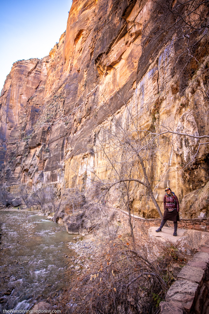
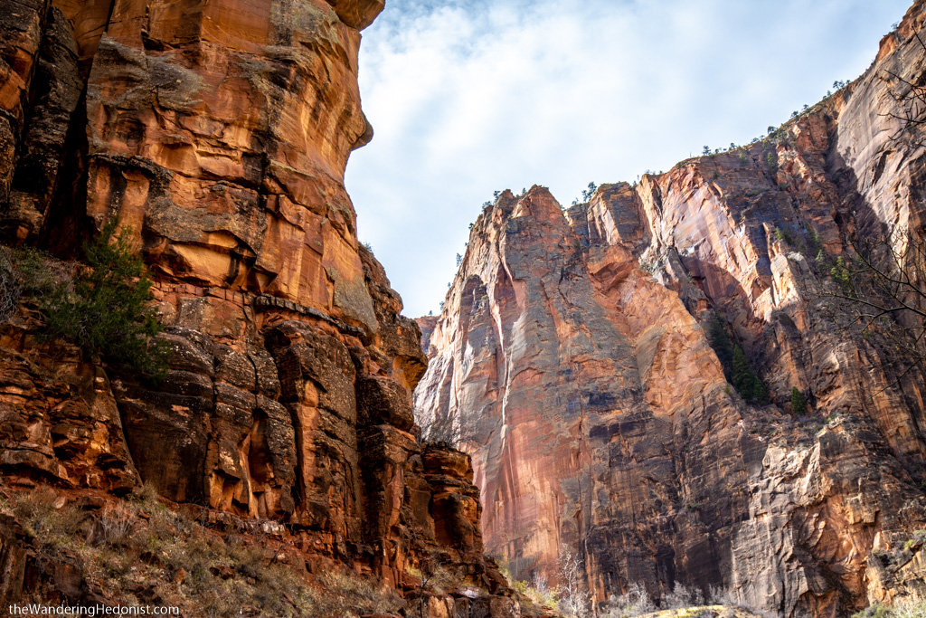
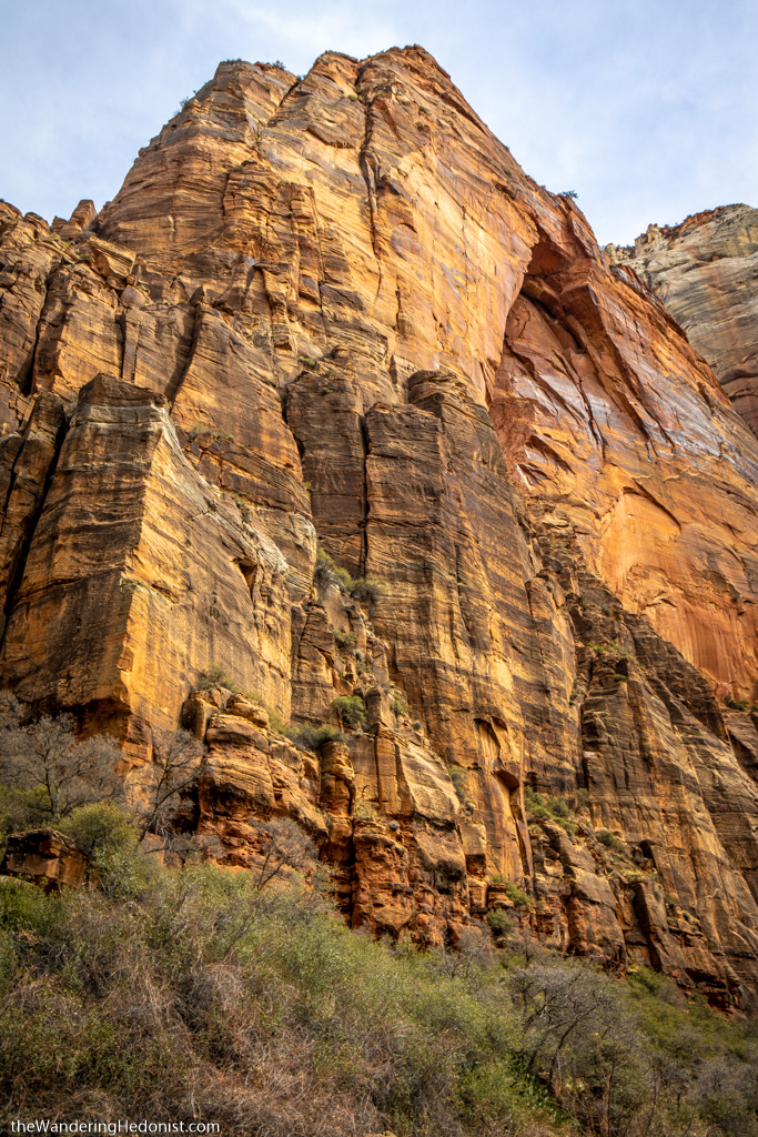
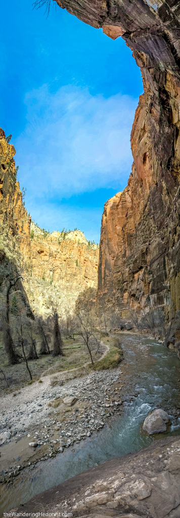
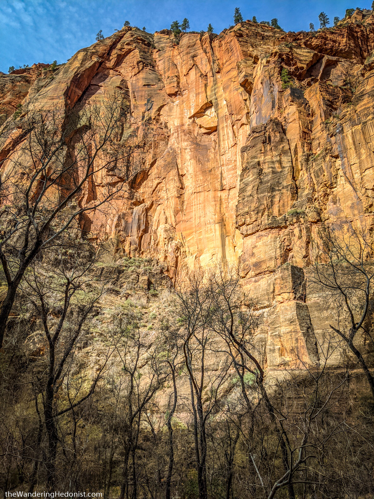
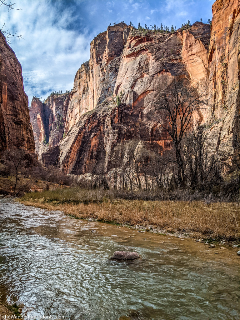
Riverside Walk and the Narrows
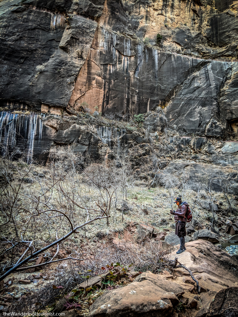
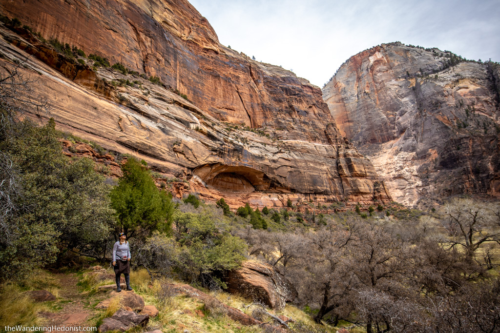
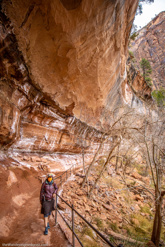
The Riverside Walk was probably my favorite part of the canyon. A short trail along the river surrounded by sheer red cliffs. The trail is well maintained and generally pretty flat, hugging the cliff’s face. A short ways in, you can walk down by the river and walk along its edge instead of the trail for most of the valley. I recommend both, you get different kinds of views. We walked up the main trail and back down the river path.
Taking photos was challenging. We arrived at dawn so the contrast between the rising sun and valley was extreme. By noon the light was easier to deal with as the sun shone down evenly. Extreme wide angles seem to work the best. We took a lot of vertical panos.
People walking the Narrows had to enter the cold stream. They had rented these outfits at a local outfitter with waterproof boots that attached to insulated waterproof suits and tall wooden walking sticks. They kind of looked like garbage men. Big groups of them. We hadn’t planned ahead so we had to stop where the trail ended. I recommend researching and booking equipment ahead if you want to walk the Narrows. Many groups arrived at dawn.
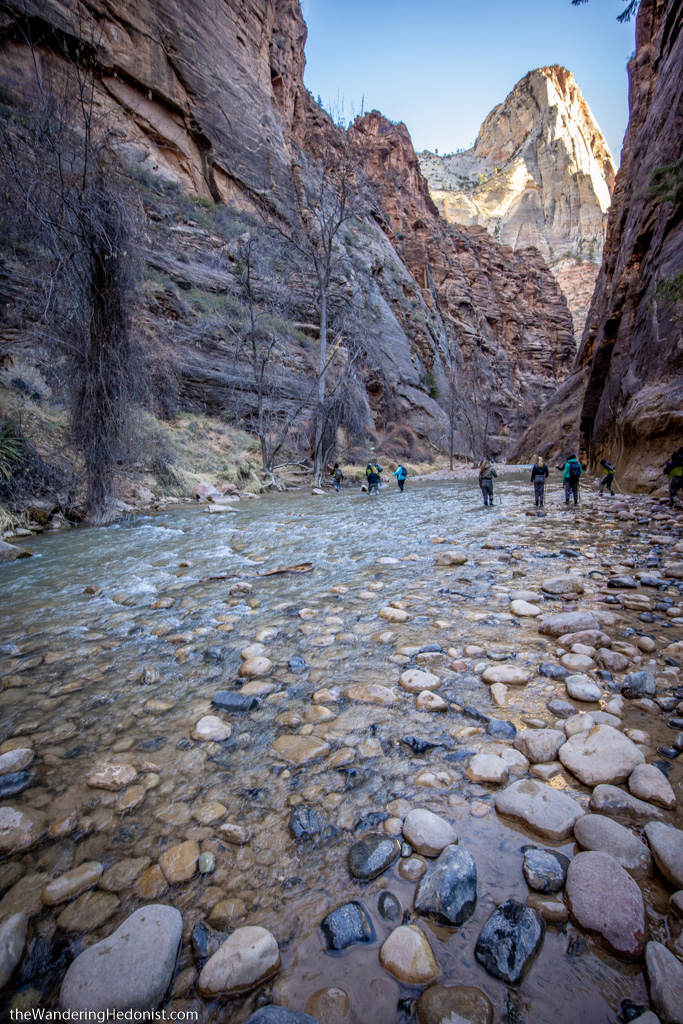
The beginning of the Narrows where the Riverwalk Trail ends.
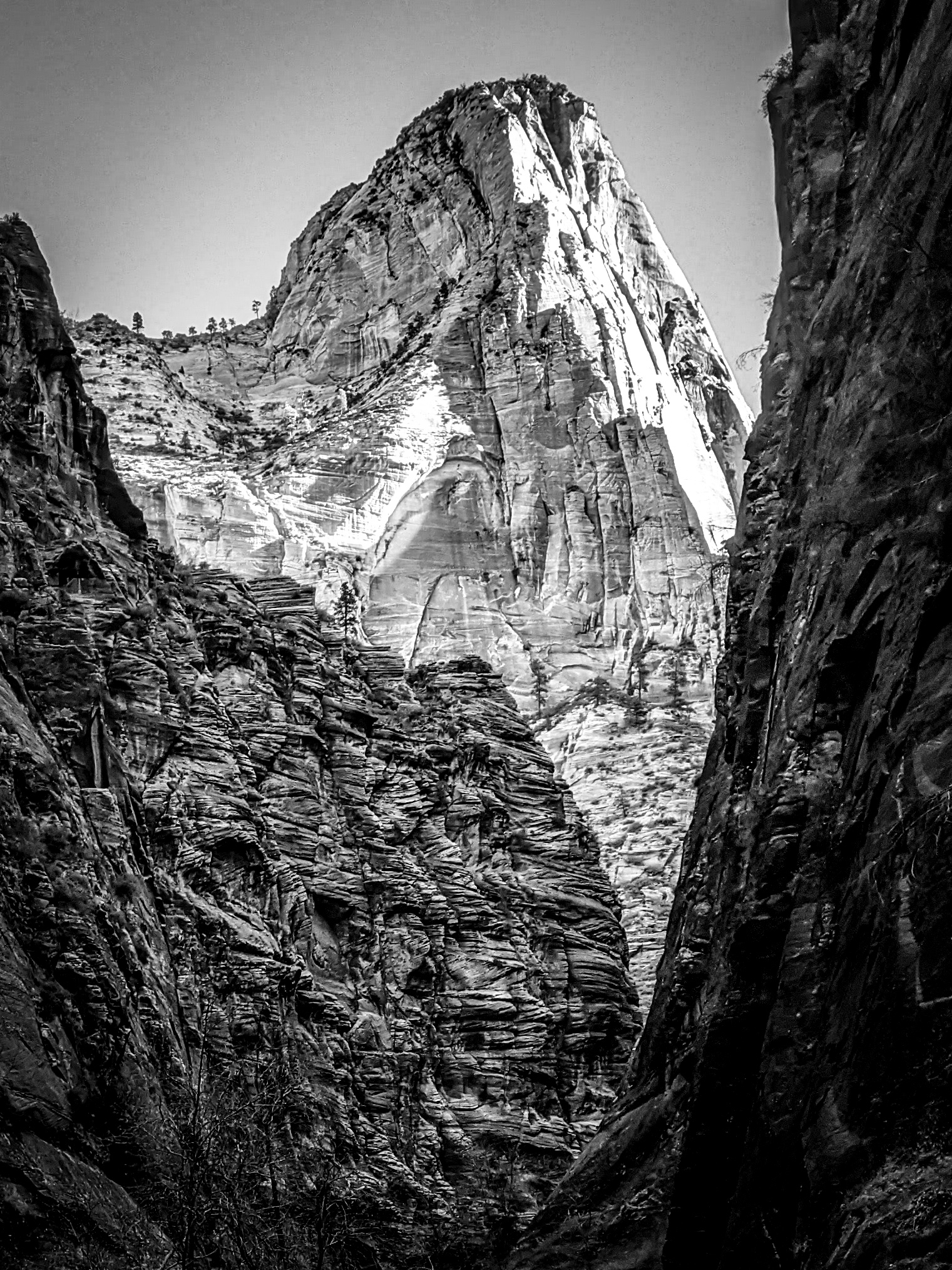
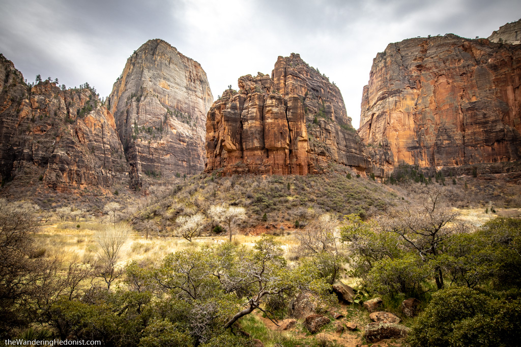
The Great White Throne
Driving back out away from the Narrows many of the parking lots were completely filled so we didn’t get to stop everywhere. But luckily we found a spot at this spectacular view of the Great White Throne. An open flood valley with an enormous red butte and in the distance a white sandstone cliff. Breathtaking.

Lower Emerald Pools Trail
Near the beginning of the canyon drive you come to the park lodge that has a large parking lot (also completely full), and small store, and access to a few trailheads including the lower and upper Emerald Pools. I walked the shorter Lower Emerald Pools trail with Katy and looped back while she kept going for a longer hike on the Kayenta Trail for a longer loop. Views of the valley here are as impressive as anywhere and definitely worthwhile to visit.
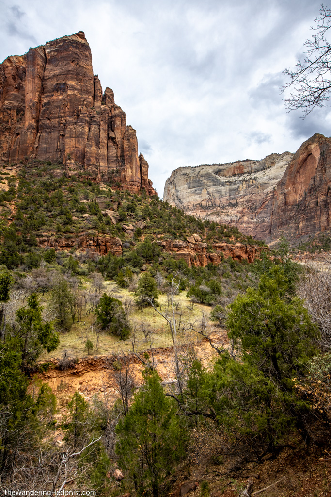
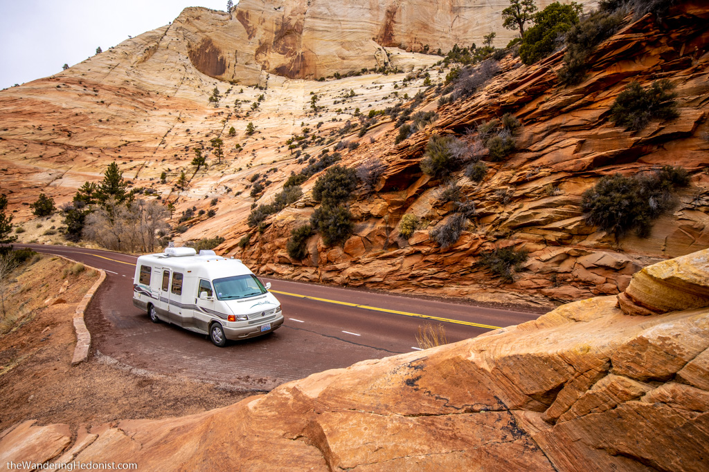
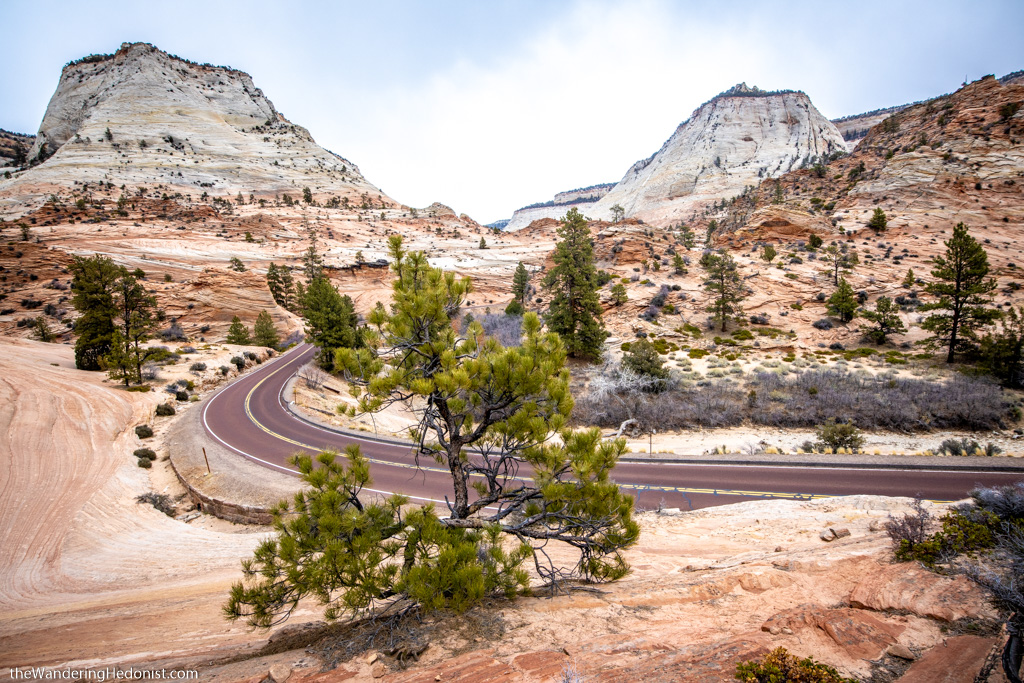
Zion Mount Carmel Highway and Kolob Canyon
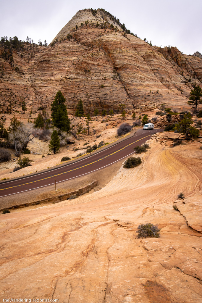
The Zion Mount Carmel Highway connects the Zion and Kolob Canyon portions of the park through to the Pine Creek Canyon and on towards Bryce Canyon and other Nation Parks in the area. The road first winds up steep switchbacks in Kolob Canyon, then into a narrow 5,613 foot tunnel through the mountain, then out onto a winding road through Pine Creek Canyon which has very different yet equally beautiful alien terrain. Vehicles over 11.33 feet tall or 7.83 feet wide need to pay a special fee and the tunnel can be shut down from one side while the larger vehicle passes through the tunnel.
This drive is spectacular with lots of pullouts to take pics. The area just past the tunnel exit is narrow with few pullouts but it soon opens up with pullouts further along.
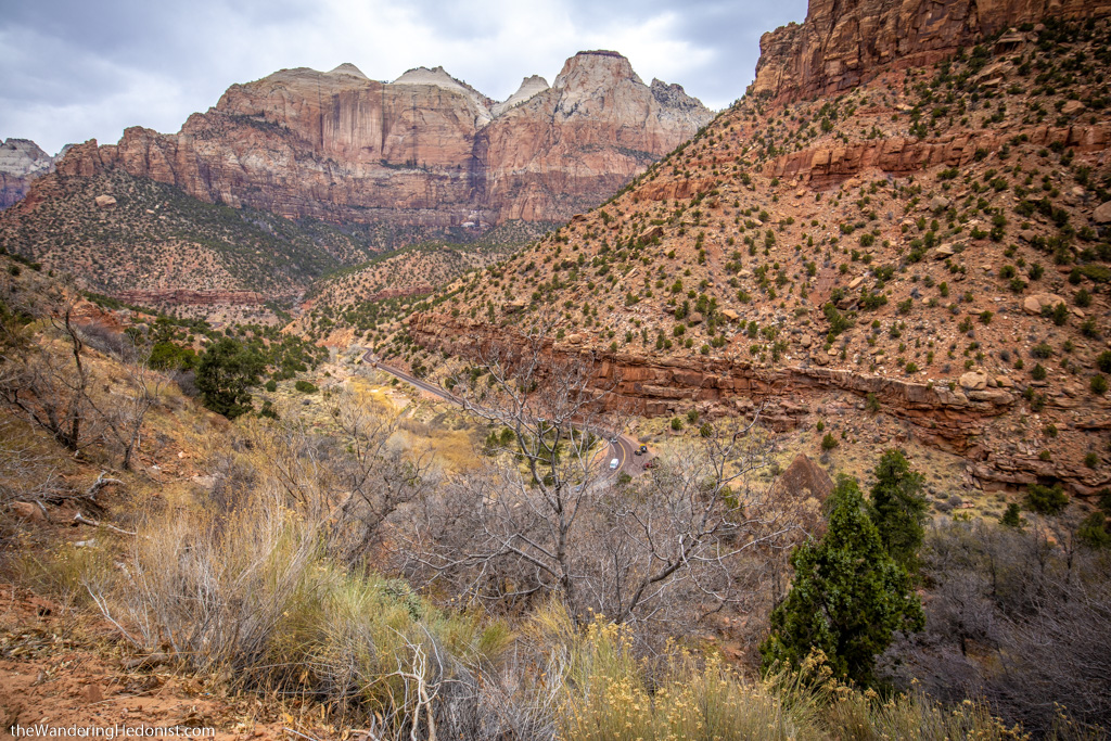
You can see a white van on the road below.
The road winding up into Kolob canyon.
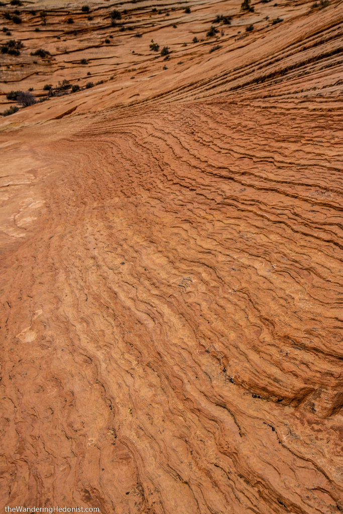
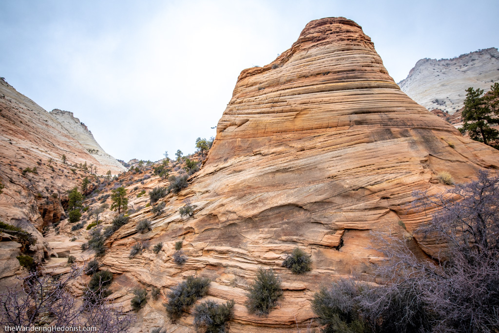
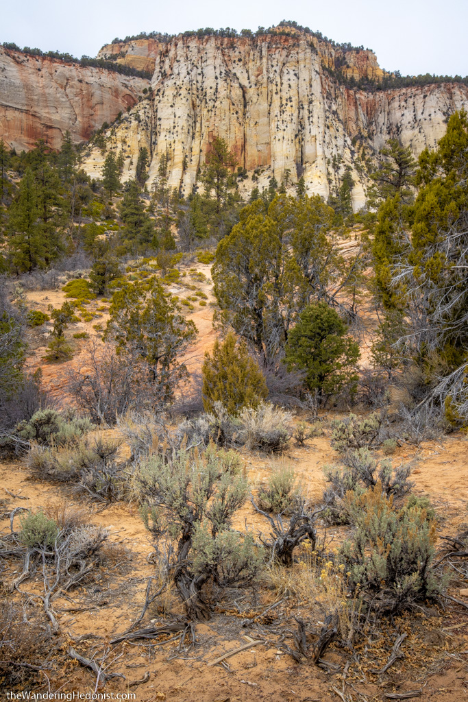
Pine Creek Canyon
I really loved this area. Bare red rock canyon walls that have been weathered into organic shapes with bands of rock layers forming interesting stripes along the rocks. Such a unique looking place.
Once you pass the Checkerboard Mesa, the landscape settles down a bit as you drop into Mt. Carmel Junction. And from there we headed over the Kaibob plateau in a full snowstorm and into the Vermillion Cliffs Scenic Byway towards Page, AZ.


Checkerboard Mesa