
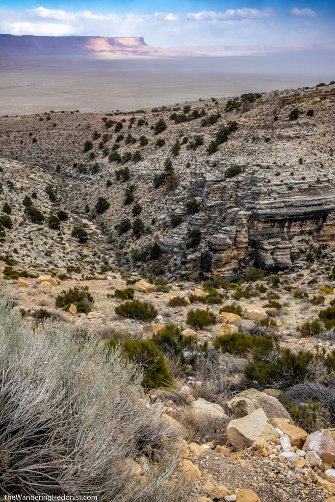
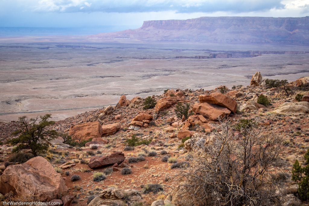
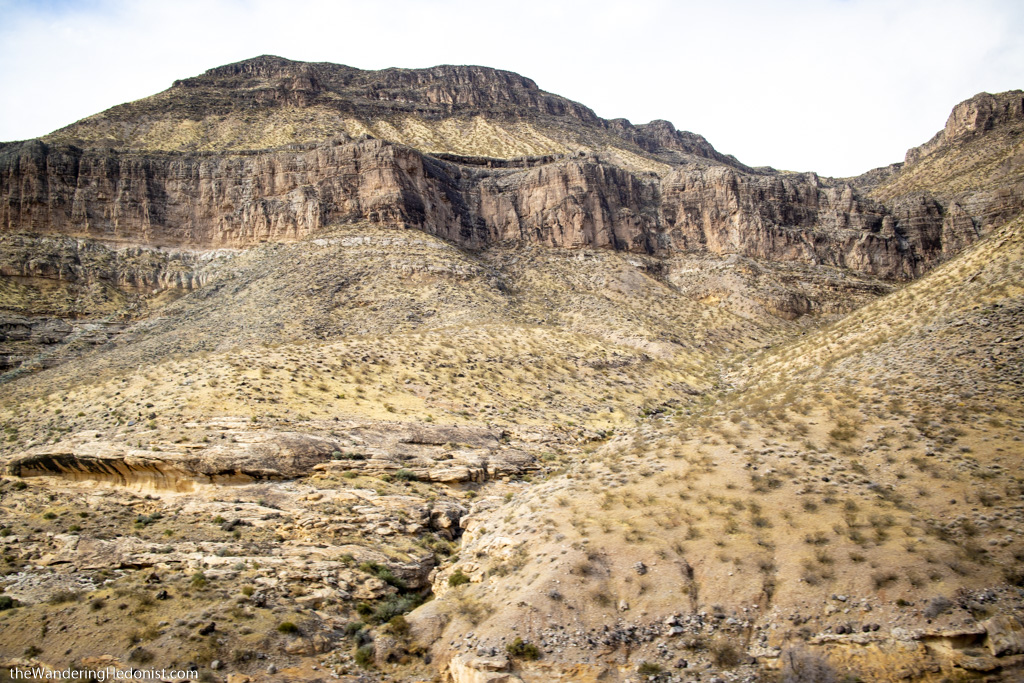
Vermillion Cliffs from the Kaibob Plateau
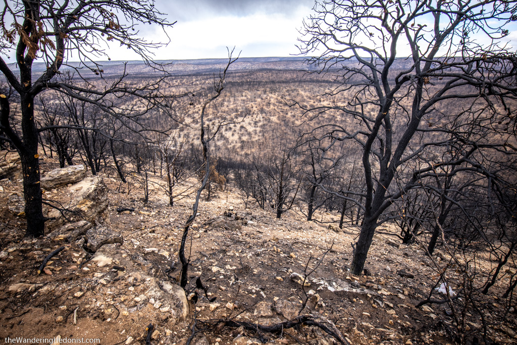
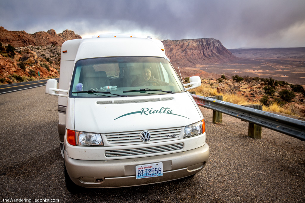
From Zion National Park we headed over the Kaibob plateau in a full snowstorm and into the Vermillion Cliffs Scenic Byway (89a) towards Page, AZ. Ominous banks of clouds loomed like celestial beasts grazing on the red dirt expanse. As we ascended the mesa, the landscape was charred black, miles of forest, as far as we could see, decimated by some recent fire. And far off the Grand Staircase-Escalante. The snow tinged air was bitter and we both felt the tension settle in. We had not expected to be taking the Rialta into snow, and especially not on these curving roads at such elevation. The snow began to stick on the road. A truck passed, flashing its lights, warning us of the cows standing along the road ahead.
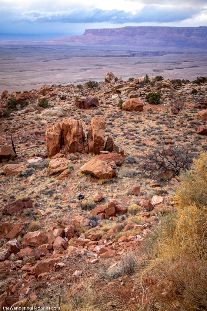
Area surrounding the Kaibob plateau
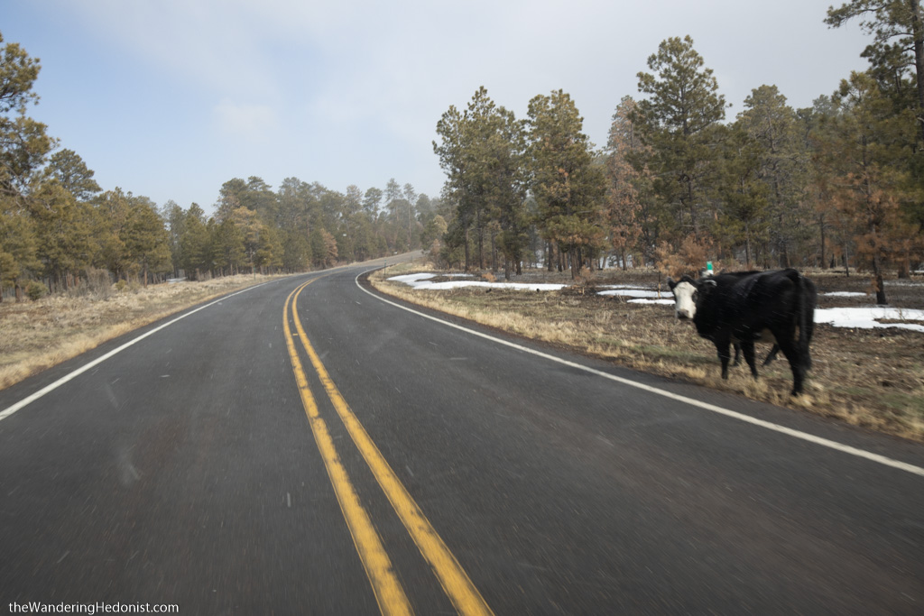
Hi cow!
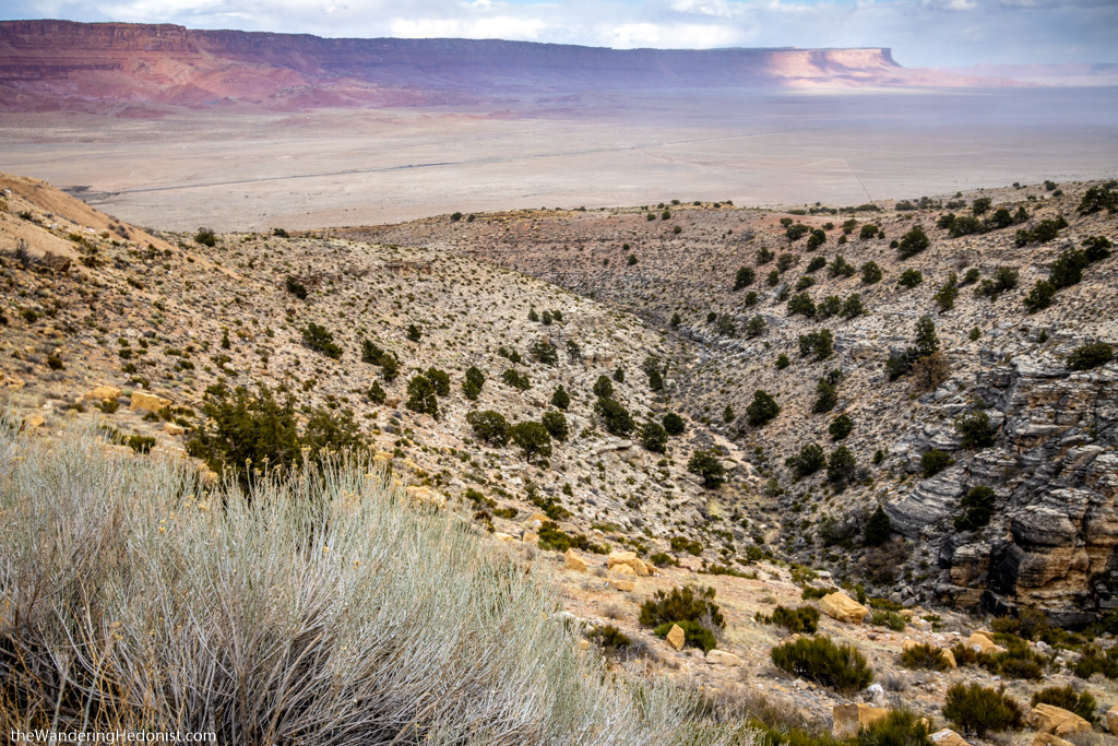
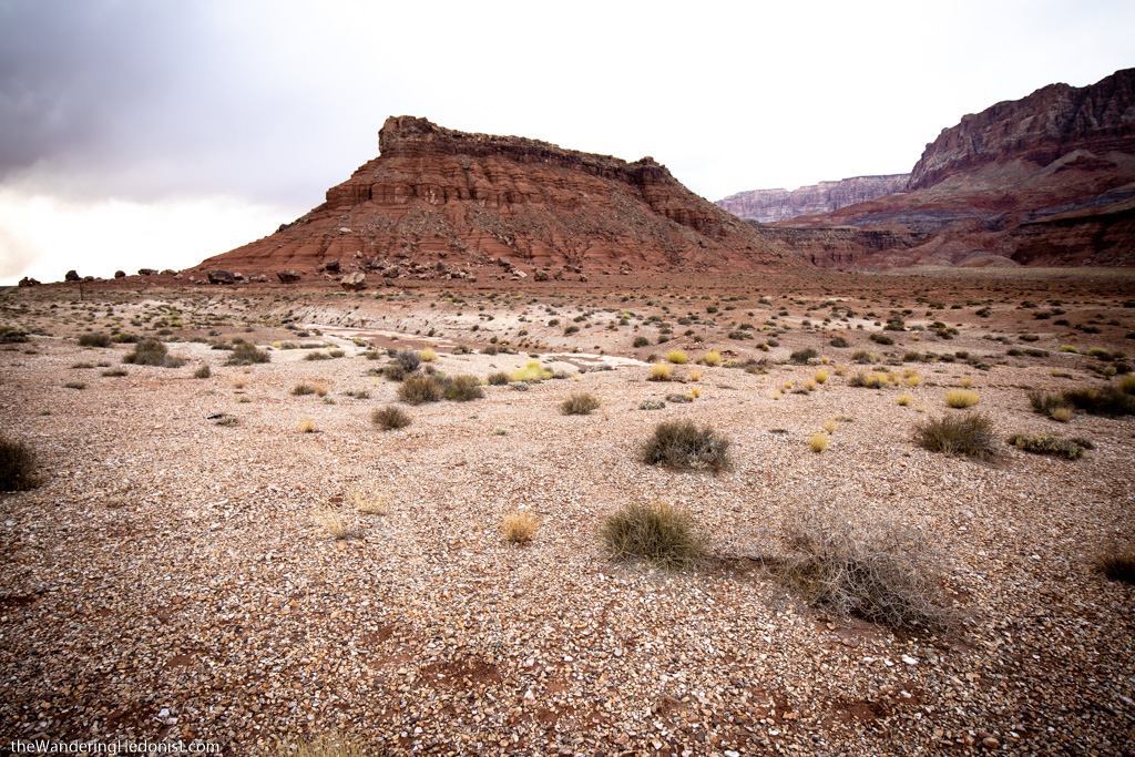
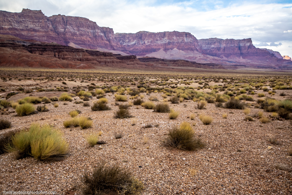
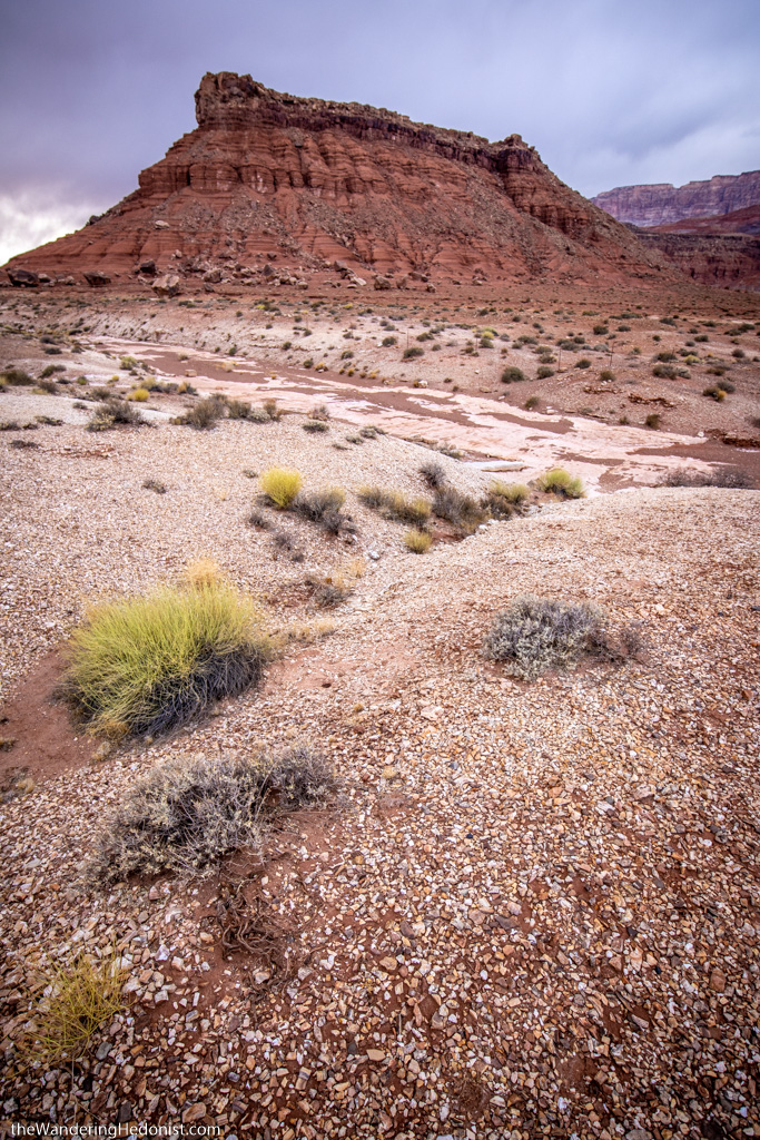
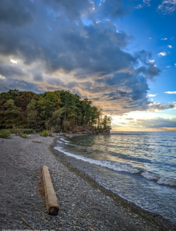
In the end we traversed the mesa without issue and began to descend into the valley towards the Colorado River, the Vermillion Cliffs to our left, a sheer brightly colored rock face connecting abruptly to the flat lands below. The right half of the sky was black and the snow clouds were speeding towards the cliffs but a few shafts of light beamed along the cliff face allowing a few quick photos.
Vermillion Cliffs from the Kaibob Plateau
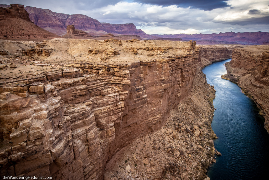
The road first cut straight into the endless flatness but then turned left hugging the cliff face with astonishing views. Bright red rock and red mud. These were our best views of the Vermillion Cliffs. But the terrain was quite muddy.
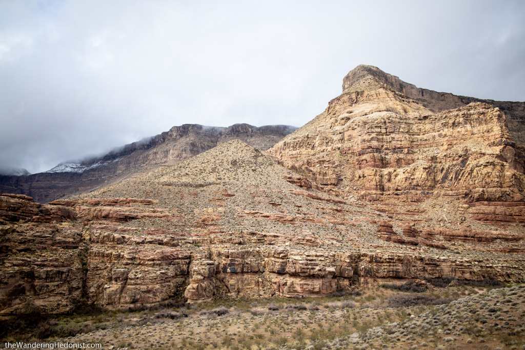
Vermillion Cliffs.

Vermillion Cliffs.
Vermillion Cliffs.
Vermillion Cliffs.
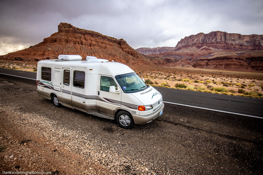
Appa in front of the Vermillion Cliffs.
Then the road turned right across Marble canyon, a deep slice into the flat red rock, and over the impressive Navajo Bridge. There’s a parking lot on the far side so we speed in, racing the snow clouds, and bundle up with as many layers as we can find. The cold is sharp and the wind becomes more threatening as we venture out on the narrow bridge, each gust pushing us like unwelcome guests to the edge of the railing. Huge black birds float overhead, perhaps condors, standing still in the heavy winds like raptor spaceships. My skin is stiff and stinging as we climb back into the car.
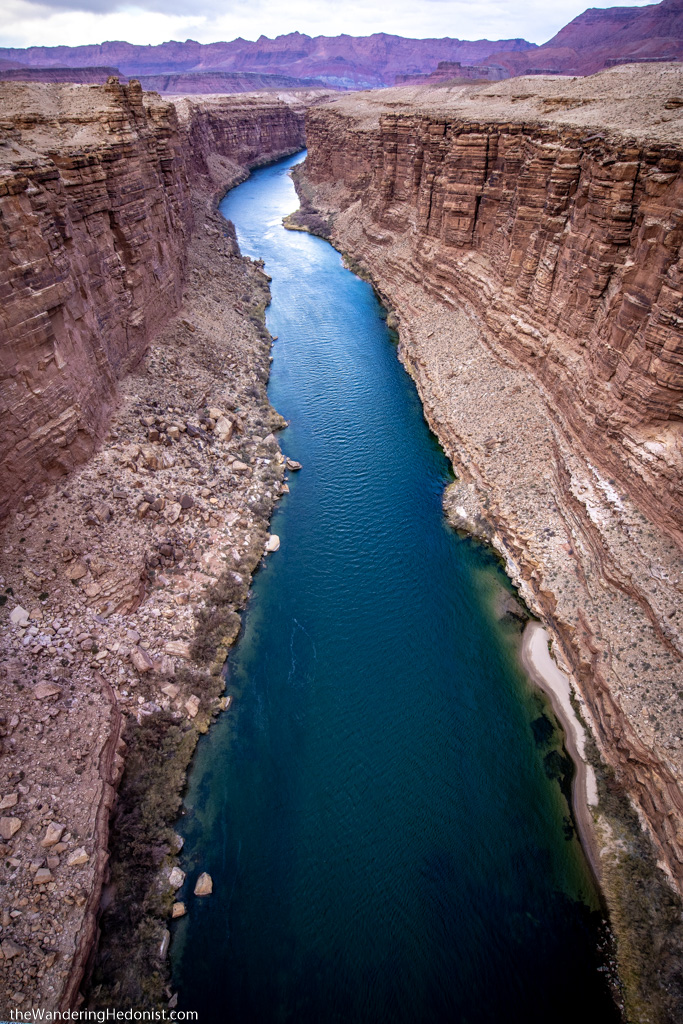
Marble Canyon.

Marble Canyon.
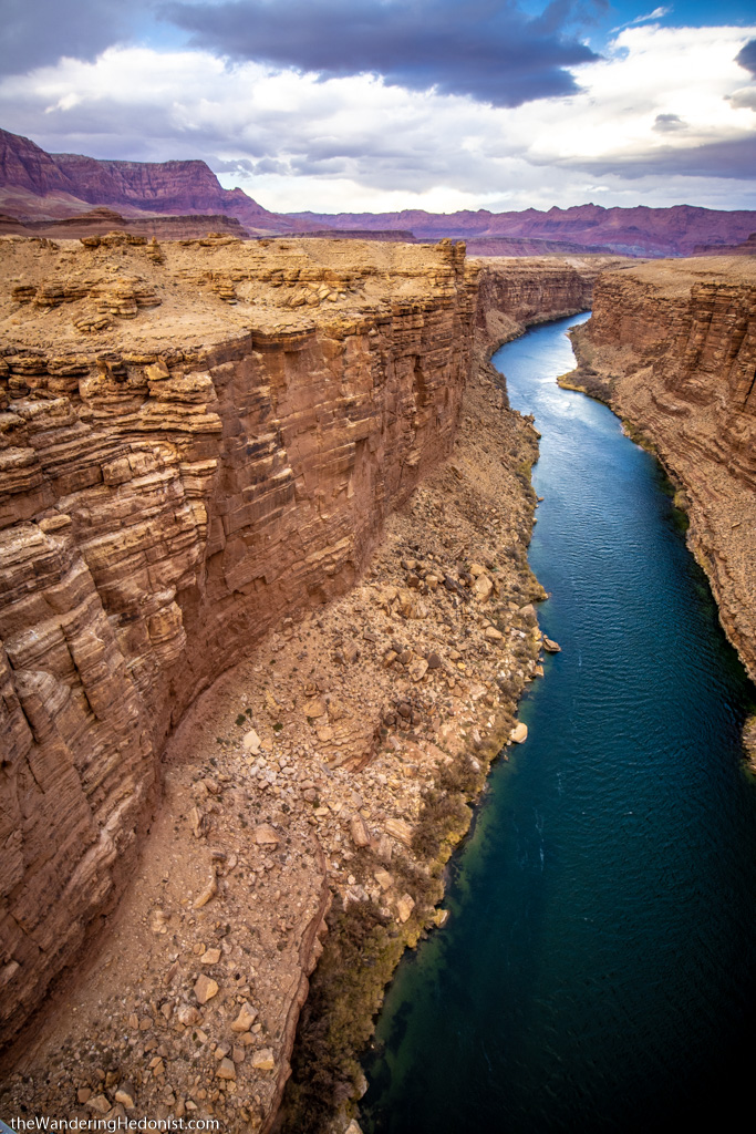
Marble Canyon.
Marble Canyon.
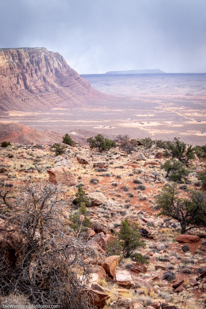
We speed into Navajo country, small communities of roughly built houses and trailers and lone houses off by themselves. The cliffs are close now and the road turns, climbing up steeply and through a pass at the top. And then the continuous flatness again of red dirt, with no sign of how far up we actually were. But I knew not far to our left was the sheer cliff drop.
Navajo country.

Navajo country.
Navajo country.
Navajo country.
Appa overlooking Navajo country.
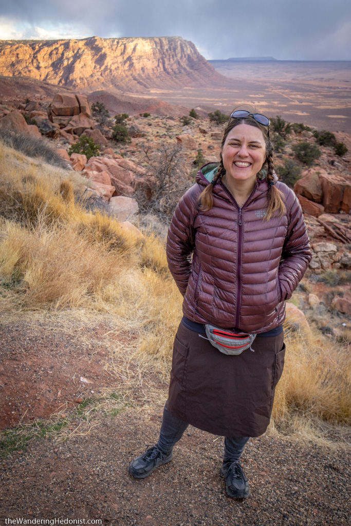
Katy on the cliffside.
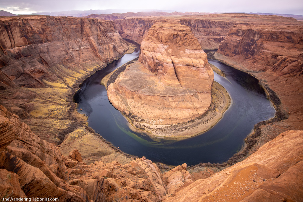
The sun was setting and we wanted to see Horseshoe Bend before the light began to fail. We were almost to Page, AZ, when we found the parking lot. There was a $10 fee and only a few moments of sun left and my knee had been acting up, so we decided to wait until the next day to visit.
Horseshoe Bend
The next morning Katy hiked into Grand Staircase-Escalante National Park to see the Wahweap Hoodoos. She had agreed to write an article about the hike and we used it as an excuse to make this roadtrip. You can read her hike here.
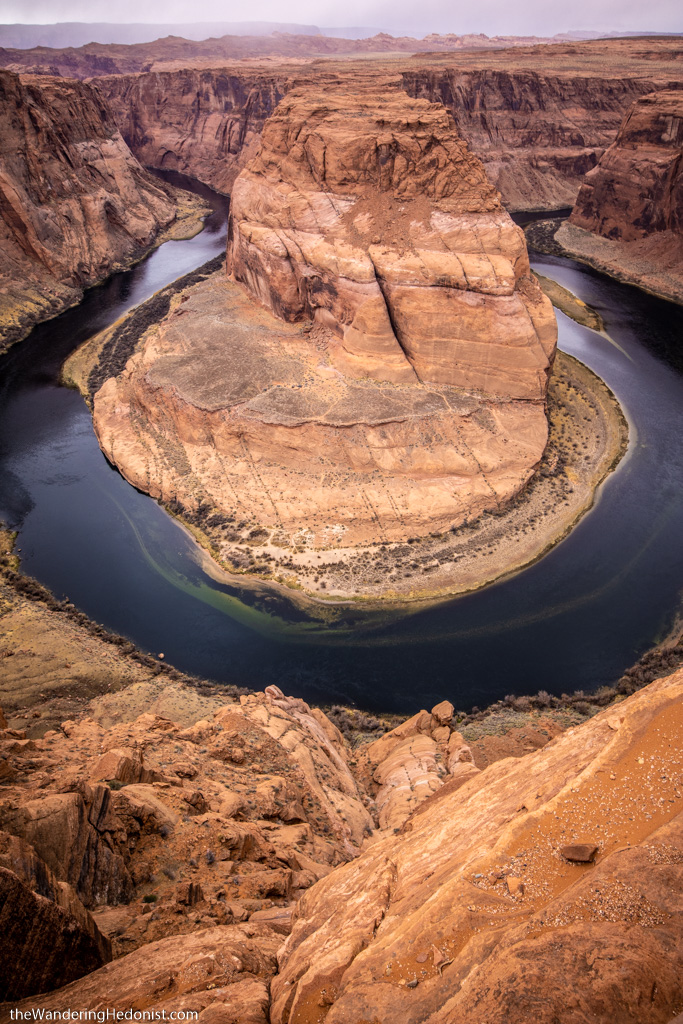
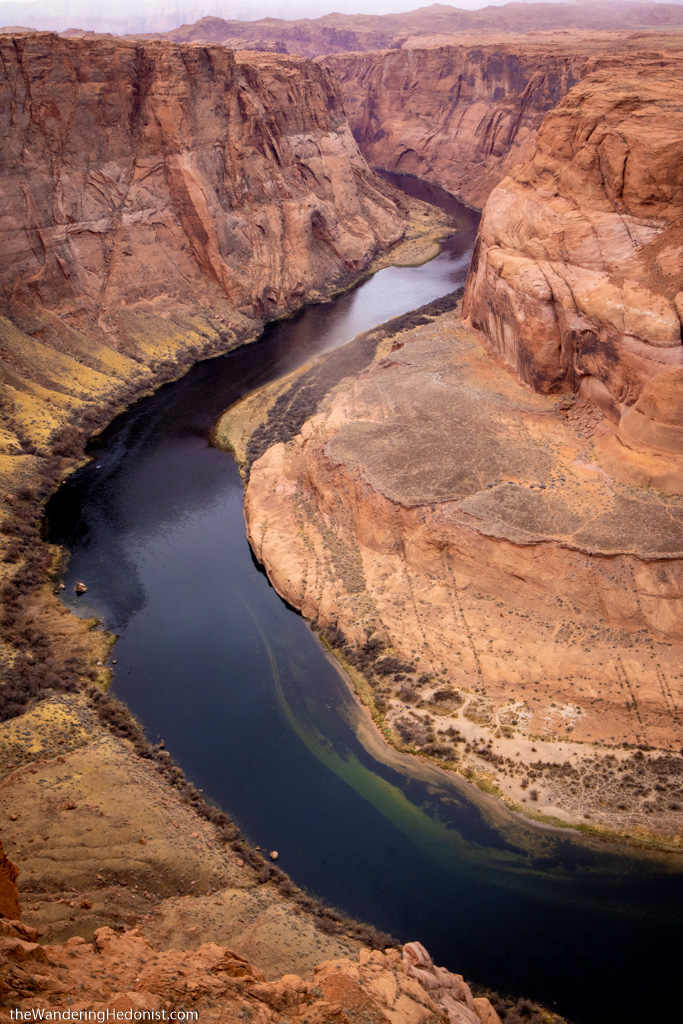
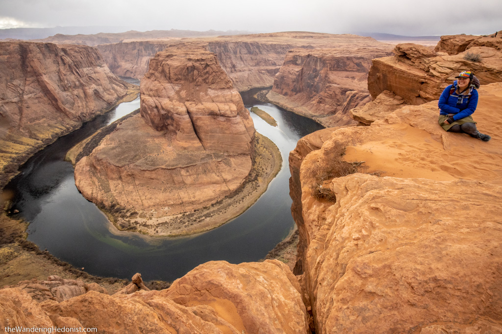
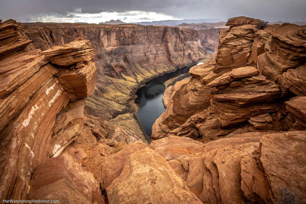
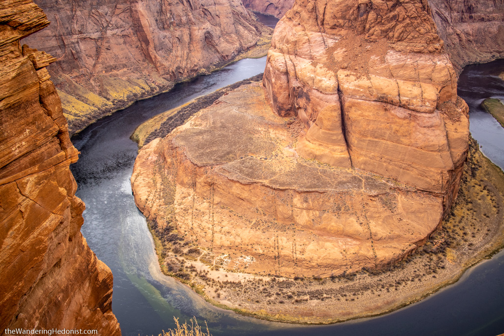
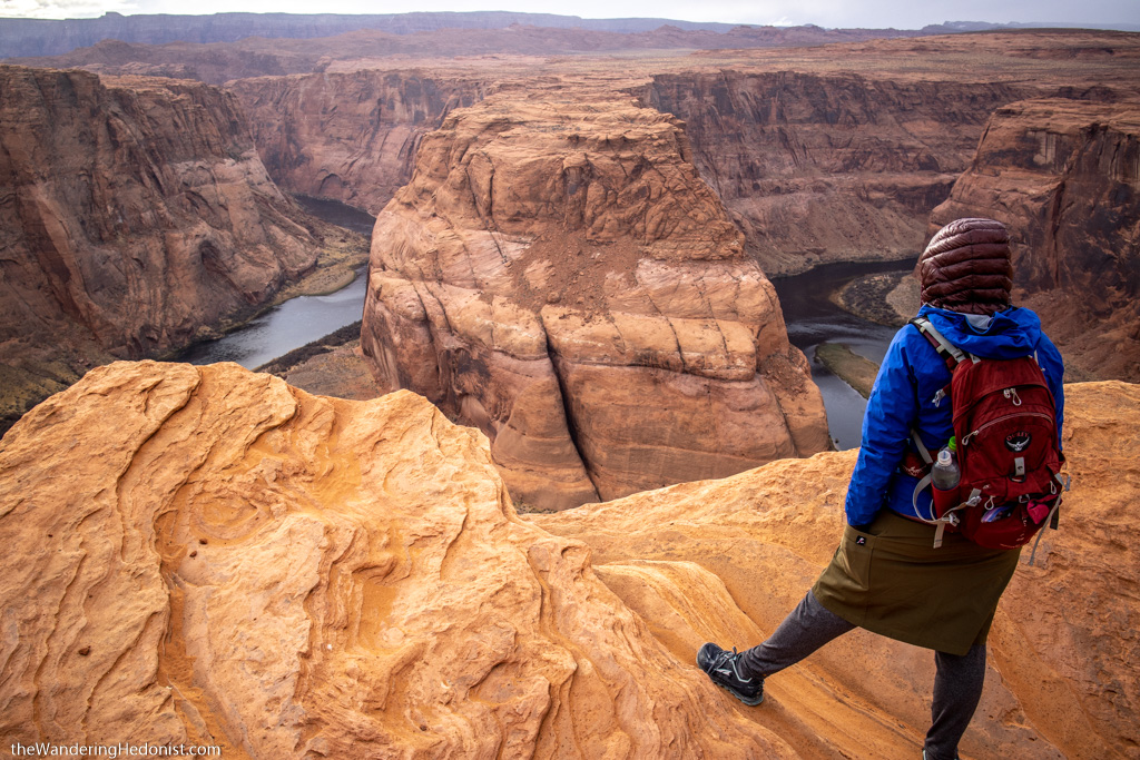
When she returned we had enough time to finally see Horseshoe Bend. I had been wanting to see this for a long time. The photos are always so stunning. Sadly the light was not ideal, the grey clouds stole the sky, but at least it wasn’t raining and we got to enjoy the views.
It’s difficult to explain the size of this canyon. Your brain just doesn’t register it. Far below, almost too small to see, kayakers were camped on the shore where a few bathrooms had been constructed in the bend.
Horseshoe Bend.
Horseshoe Bend.
Horseshoe Bend.
Horseshoe Bend.
Horseshoe Bend.
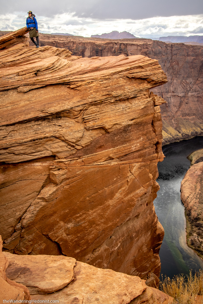
Katy on a cliff.
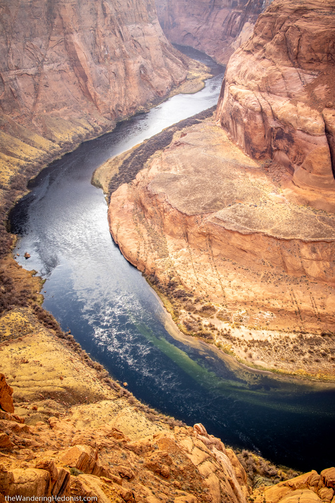
Can you see the kayakers on the bottom left shoreline across the river?
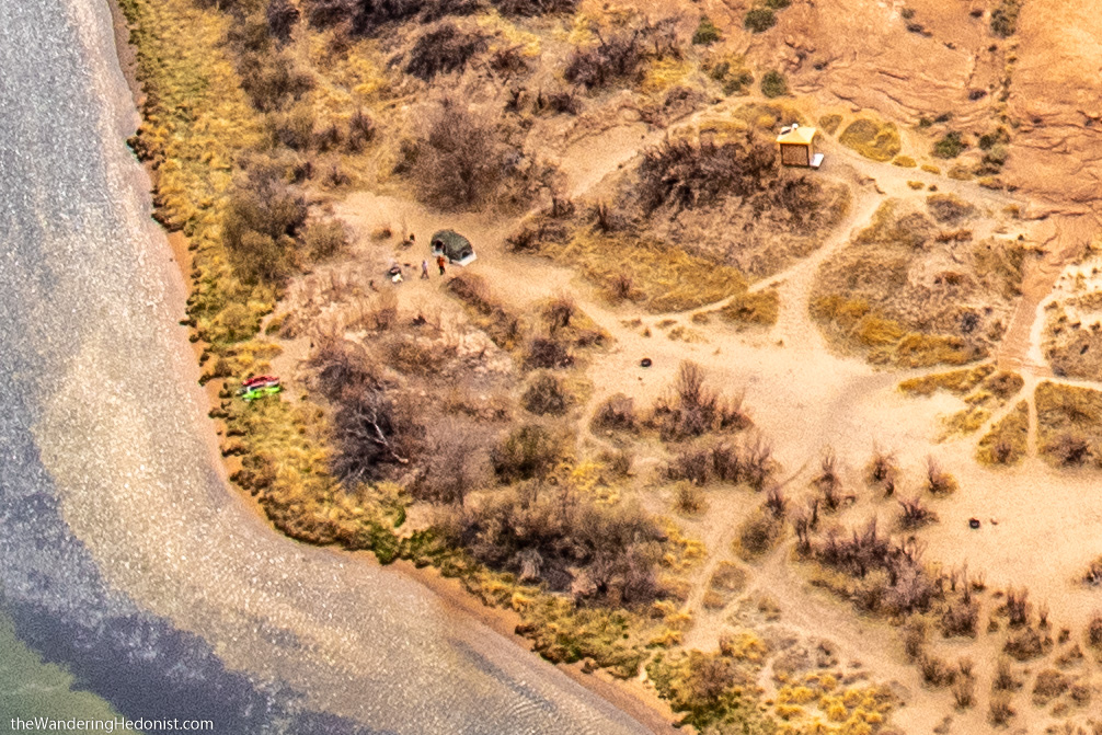
Extreme blowup of the photo above. Hopefully that gives a sense of scale.
The sun finally peeks out for a minute.
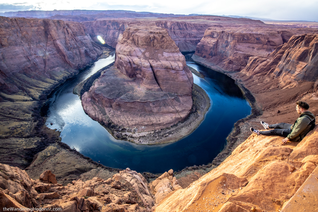
This crazy Russian kid was just walking around on the edge.
Driving back through Vegas to Death Valley
When we left Page, we took the much easier highway 89. The fields were covered in snow and the bright red cliffs were mostly white now. We were doing the run to Death Valley in a single day, so we didn’t stop much, back down I15 to Vegas and up 95 to Amargosa Valley on the southern side of the UFO loop.
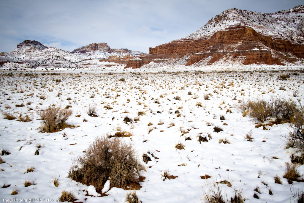
Snow on the cliffs.
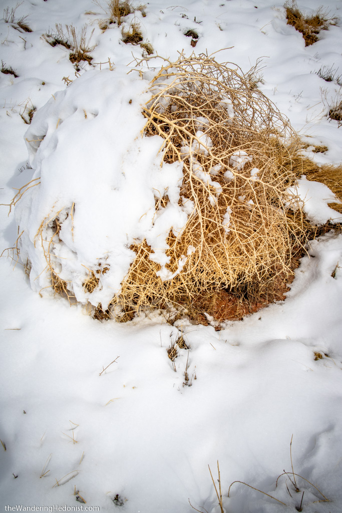
Snow on a tumble weed.

The roadside on the way back to Vegas.
The roadside on the way back to Vegas.
The roadside on the way back to Vegas.
No Comments